


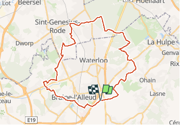

21 km | 27 km-effort

Utilisateur GUIDE


Application GPS de randonnée GRATUITE
 SityTrail
IGN / Instituts géographiques
SityTrail World
Le monde est à vous
Randonnée V.T.T. de 36 km à découvrir à Wallonie, Brabant wallon, Waterloo. Cette randonnée est proposée par pascalou73.
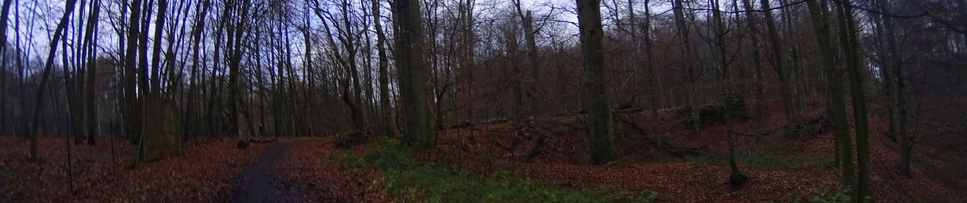
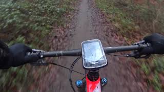
Voilà un VTT de Waterloo à la forêt de Soignes par Brais l'alleud ou le départ se fait de la bute avec un début très urbain et en suite de beau passage dans les bois et les campagnes de la région. Une randonnée très variée avec un petit D


Marche

Marche

V.T.T.

V.T.T.

V.T.T.

V.T.T.

Marche

Marche

Marche