17,7 km | 23 km-effort
Sur les traces de Rocheford
mthomas30
Utilisateur
Longueur
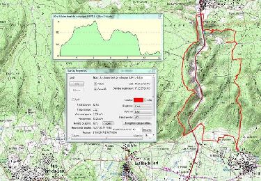
22 km
Altitude max
238 m
Dénivelé positif
280 m
Km-Effort
26 km
Altitude min
124 m
Dénivelé négatif
280 m
Boucle
Oui
Date de création :
2021-01-03 07:29:46.198
Dernière modification :
2021-02-01 22:15:06.925
2h28
Difficulté : Moyen
Application GPS de randonnée GRATUITE
À propos
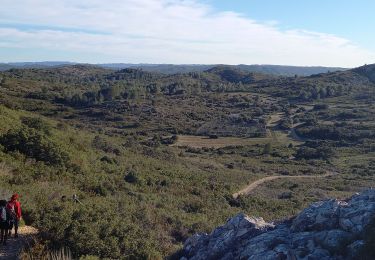
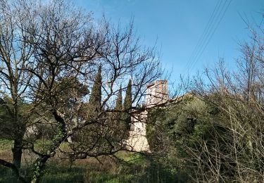
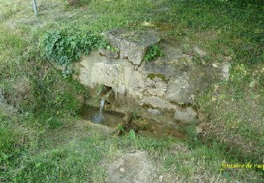
Randonnée V.T.T. de 22 km à découvrir à Occitanie, Gard, Estézargues. Cette randonnée est proposée par mthomas30.
Description
Départ de la Fenouillere.
Localisation
Pays :
France
Région :
Occitanie
Département/Province :
Gard
Commune :
Estézargues
Localité :
Unknown
Départ:(Dec)
Départ:(UTM)
631193 ; 4867907 (31T) N.
Commentaires
Randonnées à proximité
SAINT-HILAIRE-D OZILHAN - FORET DE VALLONGUE - 11.7Km - 03h20 - Dénivelé 250 m
Marche
Moyen
(1)
Saint-Hilaire-d'Ozilhan,
Occitanie,
Gard,
France
11,8 km | 14,7 km-effort
3h 14min
Oui
Autour de Rochefort du Gard
Marche
Moyen
Rochefort-du-Gard,
Occitanie,
Gard,
France
18,2 km | 22 km-effort
4h 52min
Oui
St Hilaire d"Ozillan chapelle St Etienne et lavoir
Marche
Facile
Saint-Hilaire-d'Ozilhan,
Occitanie,
Gard,
France
15,2 km | 18,3 km-effort
5h 23min
Oui
capitelles aramon
Marche
Moyen
Aramon,
Occitanie,
Gard,
France
12,9 km | 16,7 km-effort
4h 11min
Non
Forêt de Vallongue - Saint Hilaire d''Ozilhan
Marche
Moyen
Saint-Hilaire-d'Ozilhan,
Occitanie,
Gard,
France
11,8 km | 14,7 km-effort
3h 30min
Oui
Les Fosses de Fournès
V.T.T.
Moyen
Fournès,
Occitanie,
Gard,
France
7,7 km | 10,1 km-effort
1h 30min
Oui
Les Fosses de Fournès
Marche
Facile
(2)
Fournès,
Occitanie,
Gard,
France
7,7 km | 10,1 km-effort
2h 0min
Oui
Les Castillones - Aramon
Marche
Moyen
Aramon,
Occitanie,
Gard,
France
17,2 km | 22 km-effort
5h 0min
Oui