


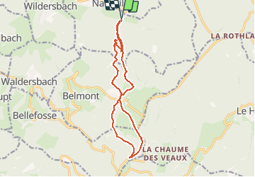

18,8 km | 26 km-effort

Utilisateur


Application GPS de randonnée GRATUITE
 SityTrail
IGN / Instituts géographiques
SityTrail World
Le monde est à vous
Randonnée Marche de 13,9 km à découvrir à Grand Est, Bas-Rhin, Neuviller-la-Roche. Cette randonnée est proposée par Bart2015.
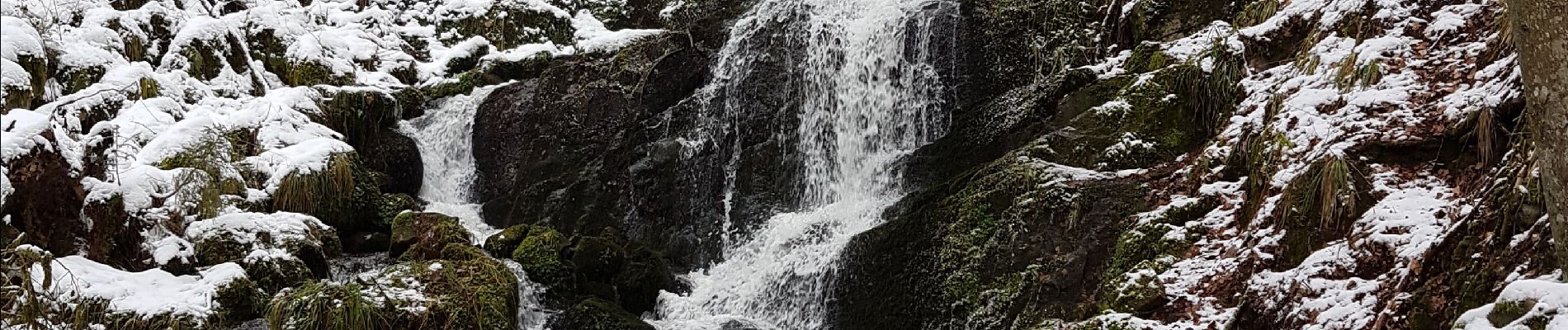
Balade à faire en raquettes pour profiter le la neige. Jolie cascade en hiver.
Bonne rando ...


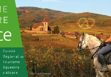
Randonnée équestre

Marche

Marche

Marche
Randonnée équestre
Marche
Randonnée équestre

Randonnée équestre
Randonnée équestre