


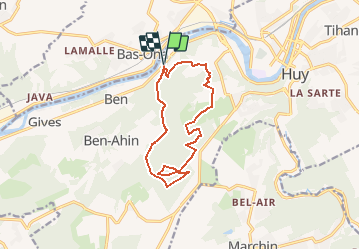

7,9 km | 10,7 km-effort


Utilisateur


Application GPS de randonnée GRATUITE
 SityTrail
IGN / Instituts géographiques
SityTrail World
Le monde est à vous
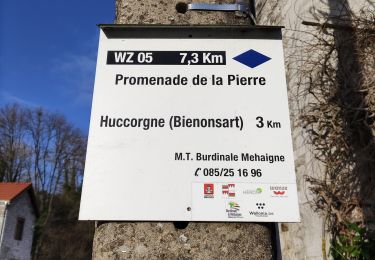
Randonnée Marche de 11,7 km à découvrir à Wallonie, Liège, Huy. Cette randonnée est proposée par henrineupre.
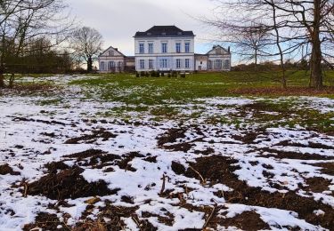
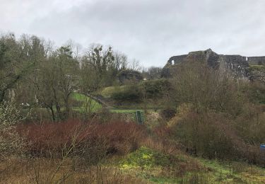
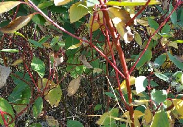
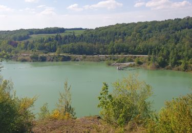
Près de Huy, venez découvrir un vallon comprenant une végétation exceptionnelle ( la réserve naturelle Lovegnée ), des grottes et des abris sous roche.

Marche
Marche
Marche
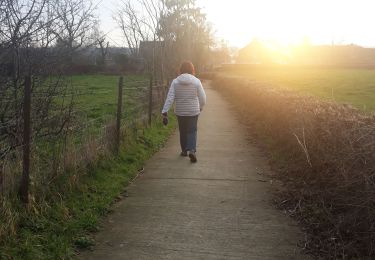

Marche
Marche

Marche
Marche
Marche