


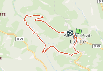

23 km | 32 km-effort


Utilisateur


Application GPS de randonnée GRATUITE
 SityTrail
IGN / Instituts géographiques
SityTrail World
Le monde est à vous
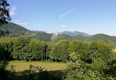
Randonnée Marche de 4,7 km à découvrir à Occitanie, Hautes-Pyrénées, Avezac-Prat-Lahitte. Cette randonnée est proposée par pierrol.
petit tour des ruisseaux

Marche
Marche
A pied
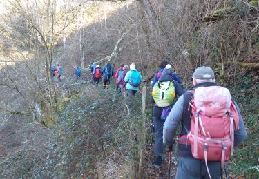
Marche
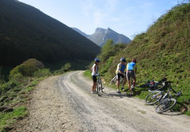
V.T.T.
Marche
Marche
Marche
Marche