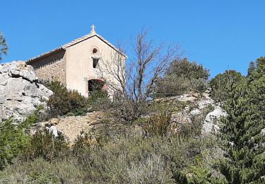
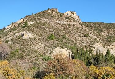
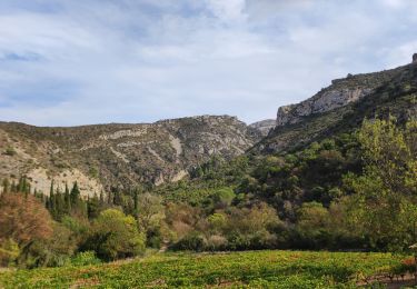
19 km | 27 km-effort
Embers et Castelmore
robertperello
Utilisateur
Longueur
11,2 km
Altitude max
334 m
Dénivelé positif
347 m
Km-Effort
15,9 km
Altitude min
168 m
Dénivelé négatif
349 m
Boucle
Oui
Date de création :
2020-12-16 09:06:08.0
Dernière modification :
2020-12-16 14:13:42.834
3h23
Difficulté : Moyen
Application GPS de randonnée GRATUITE
À propos
Randonnée Marche de 11,2 km à découvrir à Occitanie, Aude, Embres-et-Castelmaure. Cette randonnée est proposée par robertperello.
Description
Moyen
Localisation
Pays :
France
Région :
Occitanie
Département/Province :
Aude
Commune :
Embres-et-Castelmaure
Localité :
Unknown
Départ:(Dec)
Départ:(UTM)
484662 ; 4754038 (31T) N.
Commentaires
Randonnées à proximité
La Récaoufa ou Ste Raphine
Marche
Moyen
(1)
Villeneuve-les-Corbières,
Occitanie,
Aude,
France
5h 37min
Oui
station meteo perillos
Marche
Moyen
(1)
Opoul-Périllos,
Occitanie,
Pyrénées-Orientales,
France
11 km | 15,8 km-effort
2h 36min
Oui
perillos
Marche
Difficile
Opoul-Périllos,
Occitanie,
Pyrénées-Orientales,
France
11,1 km | 15,6 km-effort
5h 41min
Non
Embres et Castelmaure
Marche
Moyen
Embres-et-Castelmaure,
Occitanie,
Aude,
France
11,2 km | 14,6 km-effort
3h 0min
Oui
Opium pétillons
Marche
Moyen
Opoul-Périllos,
Occitanie,
Pyrénées-Orientales,
France
12,8 km | 18,8 km-effort
3h 38min
Oui
périole 31-01-2024
Marche
Difficile
Opoul-Périllos,
Occitanie,
Pyrénées-Orientales,
France
11 km | 17,1 km-effort
3h 42min
Oui
Embres castelmaure
Marche
Très difficile
Embres-et-Castelmaure,
Occitanie,
Aude,
France
17,9 km | 26 km-effort
4h 35min
Oui
Ambres et Castelmaure 18/10/2023
Marche
Moyen
Embres-et-Castelmaure,
Occitanie,
Aude,
France
11,1 km | 15,6 km-effort
3h 22min
Oui
TBG ACAD Embrres Castelnau final
Marche
Très difficile
(1)
Embres-et-Castelmaure,
Occitanie,
Aude,
France
18 km | 26 km-effort
4h 38min
Oui