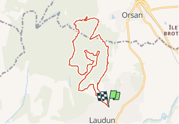

10,6 km | 15,7 km-effort


Utilisateur


Application GPS de randonnée GRATUITE
 SityTrail
IGN / Instituts géographiques
SityTrail World
Le monde est à vous
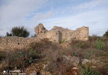
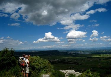
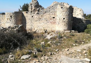
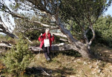
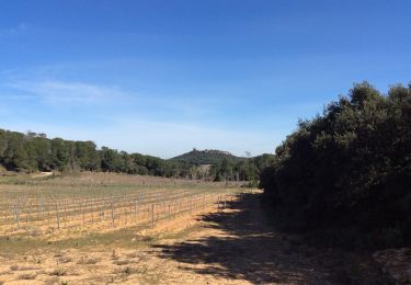
Randonnée Trail de 10,7 km à découvrir à Occitanie, Gard, Laudun-l'Ardoise. Cette randonnée est proposée par florun30290.
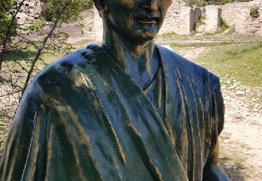
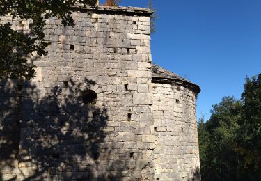
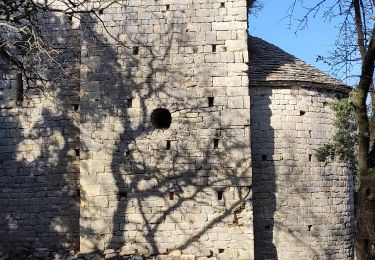
2éme épreuves des Traces de Laudun. Cette course est idéale pour débuter en trail avec de beaux monotraces sur le camp de César et une belle descente technique.
Marche
Marche
Marche

Marche
Marche
Marche
Marche