


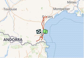

33 km | 40 km-effort


Utilisateur


Application GPS de randonnée GRATUITE
 SityTrail
IGN / Instituts géographiques
SityTrail World
Le monde est à vous
Randonnée Marche de 448 km à découvrir à Occitanie, Pyrénées-Orientales, Théza. Cette randonnée est proposée par HENRYLESTEL.
rando sympa de 3h30

Quad

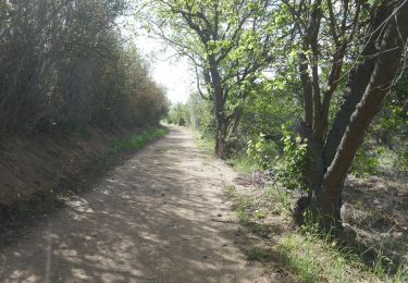
Marche

Marche

Marche
Marche

Marche

Marche

Quad
Marche