


7,2 km | 9,1 km-effort


Utilisateur


Application GPS de randonnée GRATUITE
 SityTrail
IGN / Instituts géographiques
SityTrail World
Le monde est à vous
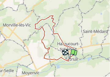
Randonnée Marche nordique de 14,3 km à découvrir à Grand Est, Moselle, Marsal. Cette randonnée est proposée par Ajul.
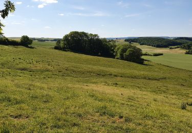
Très belle rando variée en pleine nature. Départ de Marsal, ( 300m de départementale), prendre le GR5, pose dans un bel abri, montée à la table d'orientation avec vue sur le Donon, chapelle St Livier,. après une pâture ballade en forêt pour redescendre sur le village d'Haraucourt. traversée de la D38, pour longer les remparts de Marsal.
(présence d'un restaurant)
Marche
Marche
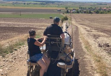
Attelage


Marche
Marche
Marche
Marche