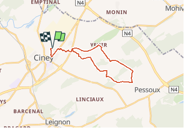

18,9 km | 24 km-effort


Utilisateur


Application GPS de randonnée GRATUITE
 SityTrail
IGN / Instituts géographiques
SityTrail World
Le monde est à vous
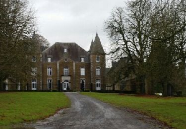
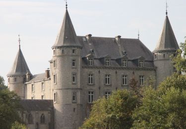
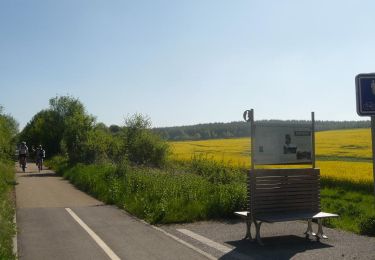
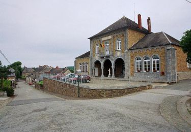
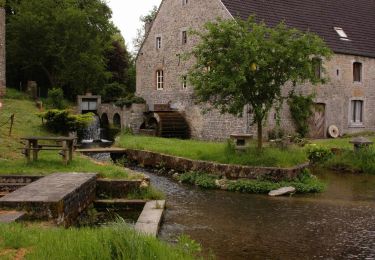
Randonnée Marche de 12,1 km à découvrir à Wallonie, Namur, Ciney. Cette randonnée est proposée par r.genette.
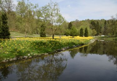
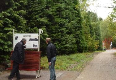
Rando de ce vendredi 4 déc..
Marche imprévue mais le beau temps m'a fait mettre les godasses..
Passage par Moulin de Biron, vers Pessoux, Vehir et retour..
Belle ap-midi
Marche

Marche

V.T.T.
Vélo
Marche
Marche
Marche
Marche