13,3 km | 20 km-effort
le terme pichauris
nana1643
Utilisateur
Longueur
6,3 km
Altitude max
612 m
Dénivelé positif
242 m
Km-Effort
9,5 km
Altitude min
394 m
Dénivelé négatif
242 m
Boucle
Oui
Date de création :
2020-12-03 08:22:45.12
Dernière modification :
2020-12-03 12:34:05.415
1h56
Difficulté : Facile
Application GPS de randonnée GRATUITE
À propos
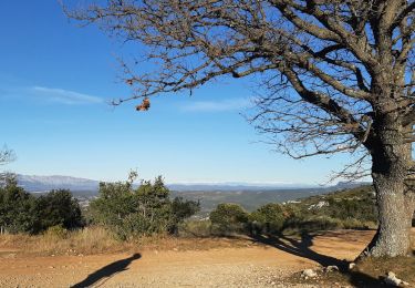
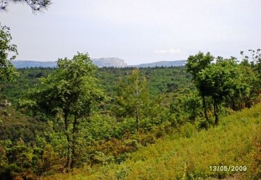
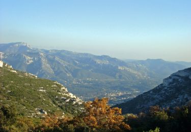
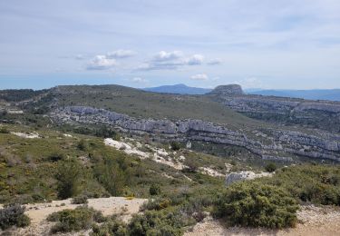
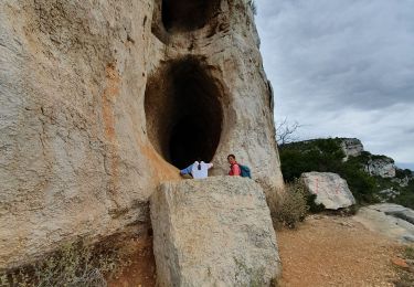
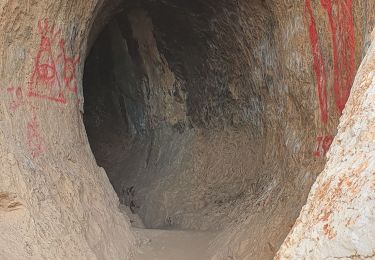
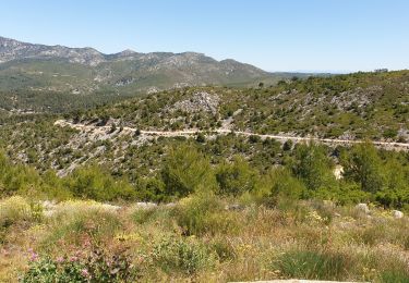
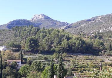
Randonnée Marche de 6,3 km à découvrir à Provence-Alpes-Côte d'Azur, Bouches-du-Rhône, Peypin. Cette randonnée est proposée par nana1643.
Localisation
Pays :
France
Région :
Provence-Alpes-Côte d'Azur
Département/Province :
Bouches-du-Rhône
Commune :
Peypin
Localité :
Unknown
Départ:(Dec)
Départ:(UTM)
706796 ; 4806729 (31T) N.
Commentaires
Randonnées à proximité
Le tour des Grands Ubacs au départ de Pichauris
Marche
Facile
(1)
Allauch,
Provence-Alpes-Côte d'Azur,
Bouches-du-Rhône,
France
4h 25min
Oui
Belcodène - Puit de l'Auris - Les Michels
Marche
Moyen
(2)
Peynier,
Provence-Alpes-Côte d'Azur,
Bouches-du-Rhône,
France
10,9 km | 13,9 km-effort
2h 30min
Oui
Domaine de Pichauris - Allauch
Marche
Moyen
(1)
Allauch,
Provence-Alpes-Côte d'Azur,
Bouches-du-Rhône,
France
10,5 km | 15 km-effort
2h 30min
Oui
le pic du Taoumé par Pichauris
Marche
Facile
Allauch,
Provence-Alpes-Côte d'Azur,
Bouches-du-Rhône,
France
13,3 km | 20 km-effort
4h 32min
Oui
La grotte du tonneau
Marche
Difficile
Belcodène,
Provence-Alpes-Côte d'Azur,
Bouches-du-Rhône,
France
6,7 km | 9,5 km-effort
2h 20min
Oui
la Grotte du tonneau belcodene
A pied
Moyen
(1)
Belcodène,
Provence-Alpes-Côte d'Azur,
Bouches-du-Rhône,
France
9,1 km | 12,2 km-effort
Inconnu
Oui
la grotte du Tonneau avec escalades
Marche
Moyen
(1)
Belcodène,
Provence-Alpes-Côte d'Azur,
Bouches-du-Rhône,
France
9,7 km | 13,2 km-effort
6h 41min
Oui
les antennes du garlaban à modifier
V.T.T.
Moyen
Allauch,
Provence-Alpes-Côte d'Azur,
Bouches-du-Rhône,
France
19,3 km | 28 km-effort
2h 8min
Oui
Garlaban au départ de Lascours
Marche
Difficile
Roquevaire,
Provence-Alpes-Côte d'Azur,
Bouches-du-Rhône,
France
15,6 km | 26 km-effort
6h 1min
Oui