


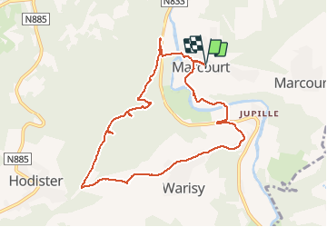

8,3 km | 11,9 km-effort

Utilisateur GUIDE


Application GPS de randonnée GRATUITE
 SityTrail
IGN / Instituts géographiques
SityTrail World
Le monde est à vous
Randonnée Marche de 9,1 km à découvrir à Wallonie, Luxembourg, Rendeux. Cette randonnée est proposée par Desrumaux.
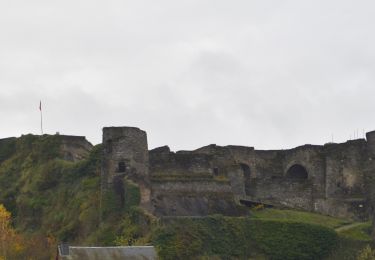
A Marcourt, dans la vallée de l'Ourthe entre La Roche-en-Ardenne et Hotton, se dressent la chapelle et l'ermitage dédiés à Saint-Thibaut.
La chapelle et l'ermitage attenant, perchés sur un éperon rocheux, apparaissent à la vue du visiteur qui vient de La Roche en suivant les méandres de la rivière Ourthe.


Marche

Marche

Marche

Marche

Marche


V.T.T.


sport
Marche
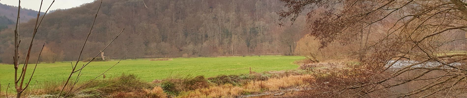
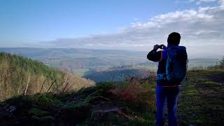
Très jolie balade !