


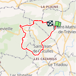

11,4 km | 19,8 km-effort


Utilisateur


Application GPS de randonnée GRATUITE
 SityTrail
IGN / Instituts géographiques
SityTrail World
Le monde est à vous
Randonnée Marche de 13,8 km à découvrir à Occitanie, Hérault, Saint-Mathieu-de-Tréviers. Cette randonnée est proposée par grageot.
*** Bien suivre sur l'arête un ancien balisage bleu à partir du col
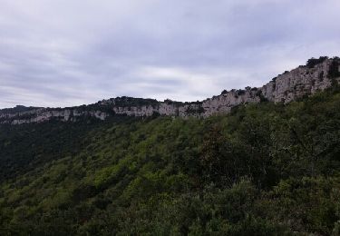
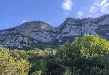
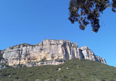
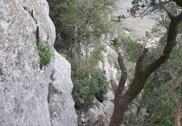
très belle traversée aérienne de la crête de Montferrand mais plusieurs passage avec mains
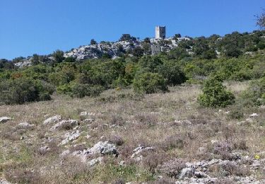
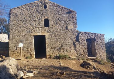
Il est possible de faire toute la crête jusqu'au château
Marche
Marche

Marche
Marche
Marche
Marche
Marche
Marche
Marche
Gros problème sur la partir inférieure désormais inaccessible à cause de barrières, chemins privatises etc etc
la traversée depuis le col de Pousterle jusqu'aux ruines de Monfertand demande 3h très aérienne et escalade de rochers - être très prudent