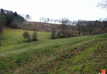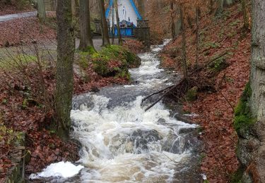

20201121 - STAVELOT 3.5 Km

pierreh01
Utilisateur GUIDE

Longueur
3,6 km

Altitude max
306 m

Dénivelé positif
56 m

Km-Effort
4,3 km

Altitude min
272 m

Dénivelé négatif
49 m
Boucle
Oui
Date de création :
2020-11-21 14:06:56.0
Dernière modification :
2020-11-21 18:50:09.773
52m
Difficulté : Très facile

Application GPS de randonnée GRATUITE
À propos
Randonnée Marche de 3,6 km à découvrir à Wallonie, Liège, Stavelot. Cette randonnée est proposée par pierreh01.
Description
Très belle découverte de Stavelot Centre gràce à Totemus.
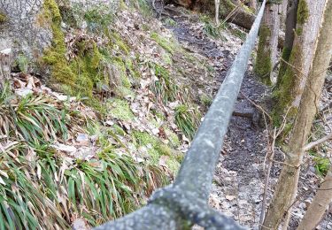
Réalisable avec des enfants, mais sans poussette ou alors il faut la porter pendant /- 200 mètres (sentier étroit en descente).
Localisation
Pays :
Belgique
Région :
Wallonie
Département/Province :
Liège
Commune :
Stavelot
Localité :
Stavelot
Départ:(Dec)
Départ:(UTM)
708356 ; 5586552 (31U) N.
Commentaires
Randonnées à proximité


RB-Lg-27_Trois-Ponts


Marche
(7)
Trois-Ponts,
Wallonie,
Liège,
Belgique

23 km | 33 km-effort
7h 30min
Oui

Extratrail_stavelot_13km_new


Marche
Moyen
(2)
Stavelot,
Wallonie,
Liège,
Belgique

13,4 km | 19,8 km-effort
4h 30min
Oui

Stavelot


Marche
Difficile
(3)
Stavelot,
Wallonie,
Liège,
Belgique

18,8 km | 26 km-effort
5h 53min
Non

RB-Lg-27_Trois-Ponts_via-racc


Marche
Très difficile
(1)
Trois-Ponts,
Wallonie,
Liège,
Belgique

16,9 km | 25 km-effort
5h 36min
Oui

Chemin des Sources |étape n°3 STAVELOT – HOCKAI


Marche
Très difficile
(1)
Stavelot,
Wallonie,
Liège,
Belgique

19 km | 25 km-effort
5h 45min
Non

Extra Trail - Stavelot (rouge) 23km


Trail
Très difficile
(1)
Stavelot,
Wallonie,
Liège,
Belgique

23 km | 35 km-effort
Inconnu
Oui

Extra Trail - Stavelot (bleu) 13km


Trail
Difficile
(1)
Stavelot,
Wallonie,
Liège,
Belgique

13,4 km | 19,5 km-effort
Inconnu
Oui

Extratrail - Stavelot (vert) 9km


Trail
Moyen
(1)
Stavelot,
Wallonie,
Liège,
Belgique

10,1 km | 13,9 km-effort
Inconnu
Oui


 SityTrail


