


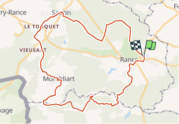

41 km | 48 km-effort

Utilisateur


Application GPS de randonnée GRATUITE
 SityTrail
IGN / Instituts géographiques
SityTrail World
Le monde est à vous
Randonnée Marche de 23 km à découvrir à Wallonie, Hainaut, Sivry-Rance. Cette randonnée est proposée par beautrix.
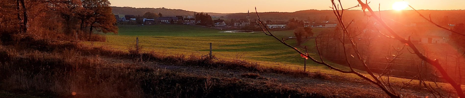
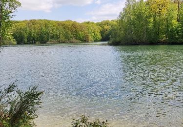
Entre campagne et petits villages bucoliques, en passant par l'arbre des quatre frères, cette randonnée ravira les amateurs de balades en forêt.


V.T.C.

V.T.T.

Marche

Marche

Marche

Marche
Marche

A pied

A pied