


23 km | 32 km-effort


Utilisateur


Application GPS de randonnée GRATUITE
 SityTrail
IGN / Instituts géographiques
SityTrail World
Le monde est à vous
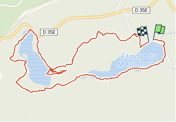
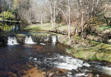
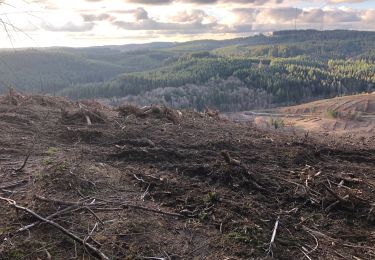
Randonnée Marche de 3,8 km à découvrir à Nouvelle-Aquitaine, Corrèze, Meymac. Cette randonnée est proposée par famille.scharf.
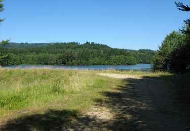
Étangs
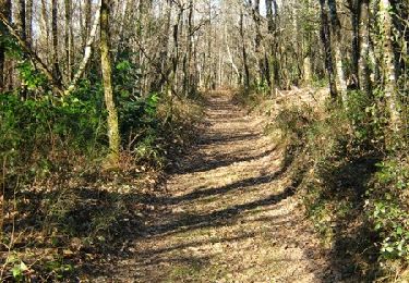
Marche
V.T.T.
Marche
Marche
Marche
Marche
Marche
Marche
Marche