25 km | 28 km-effort
deel 2
hihu
Utilisateur
Longueur
12,9 km
Altitude max
81 m
Dénivelé positif
174 m
Km-Effort
15,2 km
Altitude min
25 m
Dénivelé négatif
167 m
Boucle
Non
Date de création :
2020-11-02 10:58:19.934
Dernière modification :
2020-11-02 15:28:06.748
3h04
Difficulté : Très facile
Application GPS de randonnée GRATUITE
À propos
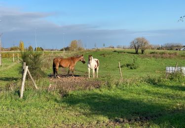
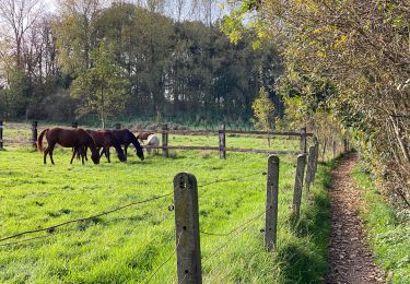
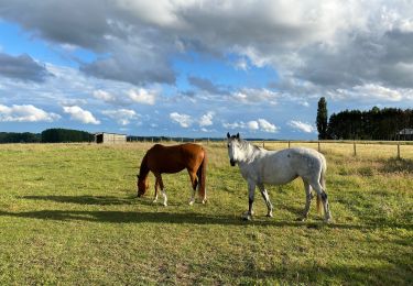
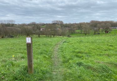
Randonnée Marche de 12,9 km à découvrir à Flandre, Brabant flamand, Ternat. Cette randonnée est proposée par hihu.
Description
h
Localisation
Pays :
Belgique
Région :
Flandre
Département/Province :
Brabant flamand
Commune :
Ternat
Localité :
Ternat
Départ:(Dec)
Départ:(UTM)
584362 ; 5636584 (31U) N.
Commentaires
Randonnées à proximité
Bruegel route (du resto den Appelboom)
A pied
Facile
(1)
Anderlecht,
Bruxelles-Capitale,
Inconnu,
Belgique
8,2 km | 9,7 km-effort
Inconnu
Oui
Kobbegem 9,5 km
Marche
Facile
Asse,
Flandre,
Brabant flamand,
Belgique
9,5 km | 10,6 km-effort
2h 19min
Oui
S-GR Groene Gordel: Ternat - Halle
Marche
Moyen
Ternat,
Flandre,
Brabant flamand,
Belgique
33 km | 38 km-effort
8h 39min
Non
Asse 10,7 km
Marche
Facile
(1)
Asse,
Flandre,
Brabant flamand,
Belgique
10,7 km | 12,9 km-effort
2h 23min
Oui
Sint Anna Pede petit tour
Marche
Très facile
Dilbeek,
Flandre,
Brabant flamand,
Belgique
7,5 km | 8,1 km-effort
2h 9min
Oui
Asbeek 8 km
Marche
Facile
Asse,
Flandre,
Brabant flamand,
Belgique
8,3 km | 9,5 km-effort
2h 1min
Oui
Ternat 23,4 km
Marche
Moyen
Ternat,
Flandre,
Brabant flamand,
Belgique
24 km | 27 km-effort
5h 54min
Oui
Dilbeek 23 km
Vélo
Moyen
(2)
Dilbeek,
Flandre,
Brabant flamand,
Belgique
23 km | 26 km-effort
1h 29min
Oui
..