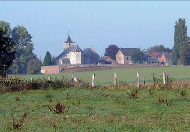
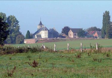
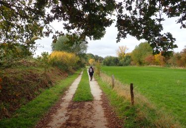
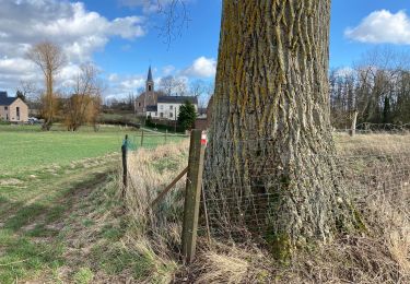
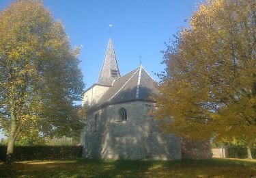
17 km | 19,3 km-effort
jodoigne
gaetanlecleg
Utilisateur
Longueur
30 km
Altitude max
143 m
Dénivelé positif
273 m
Km-Effort
34 km
Altitude min
77 m
Dénivelé négatif
273 m
Boucle
Oui
Date de création :
2020-10-31 13:13:43.948
Dernière modification :
2020-10-31 15:28:42.059
2h14
Difficulté : Très facile
Application GPS de randonnée GRATUITE
À propos
Randonnée V.T.T. de 30 km à découvrir à Wallonie, Brabant wallon, Ramillies. Cette randonnée est proposée par gaetanlecleg.
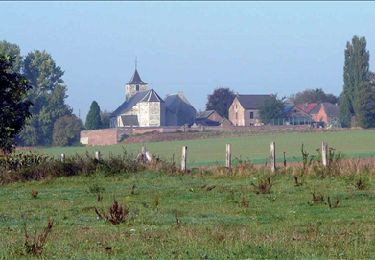
Localisation
Pays :
Belgique
Région :
Wallonie
Département/Province :
Brabant wallon
Commune :
Ramillies
Localité :
Autre-Église
Départ:(Dec)
Départ:(UTM)
635471 ; 5613776 (31U) N.
Commentaires
Randonnées à proximité
RB-Bw-02 - Folx-les-Caves - Via raccourci 2
Marche
Moyen
(3)
Orp-Jauche,
Wallonie,
Brabant wallon,
Belgique
5h 32min
Oui
RB-Bw-02 - Folx-les-Caves
Marche
Très difficile
(5)
Orp-Jauche,
Wallonie,
Brabant wallon,
Belgique
20 km | 23 km-effort
5h 9min
Oui
RB-Bw-02 - Folx-les-Caves - Via variante
Marche
Facile
(3)
Orp-Jauche,
Wallonie,
Brabant wallon,
Belgique
25 km | 29 km-effort
6h 17min
Oui
#201026 - Entre Énines, Jauche et Folx-les-Caves
Marche
Moyen
(2)
Orp-Jauche,
Wallonie,
Brabant wallon,
Belgique
8,2 km | 9,6 km-effort
2h 5min
Oui
Ramillies
Marche
Facile
(1)
Ramillies,
Wallonie,
Brabant wallon,
Belgique
15,8 km | 17,5 km-effort
2h 59min
Oui
w-belgie-grottenwandeling
Marche
Très facile
(2)
Orp-Jauche,
Wallonie,
Brabant wallon,
Belgique
9,6 km | 11,2 km-effort
Inconnu
Oui
Orp jauche
Marche
Très facile
(1)
Orp-Jauche,
Wallonie,
Brabant wallon,
Belgique
12,5 km | 14,5 km-effort
2h 26min
Oui
Folx les Caves 19 km
Marche
Moyen
Orp-Jauche,
Wallonie,
Brabant wallon,
Belgique
18,8 km | 21 km-effort
5h 34min
Oui
Ramillies Promenade des Glaneurs
A pied
Facile
Ramillies,
Wallonie,
Brabant wallon,
Belgique
11 km | 12,1 km-effort
2h 45min
Non