


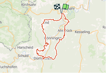

7,2 km | 11,9 km-effort


Utilisateur


Application GPS de randonnée GRATUITE
 SityTrail
IGN / Instituts géographiques
SityTrail World
Le monde est à vous
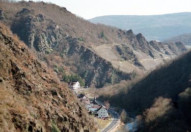
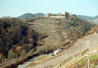
Randonnée Marche de 33 km à découvrir à Rhénanie-Palatinat, Landkreis Ahrweiler, Altenahr. Cette randonnée est proposée par flip96.
Ahrsteig etappe 4 rondwandeling
Zware, maar fraaie wandeling!
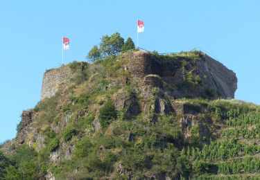
Boven op de Kreuzberg is het even zoeken waar het pad is.
Opmerkingen? flip96@home.nl
A pied
A pied
A pied
A pied
A pied
A pied
A pied
A pied
A pied