


28 km | 37 km-effort


Utilisateur


Application GPS de randonnée GRATUITE
 SityTrail
IGN / Instituts géographiques
SityTrail World
Le monde est à vous
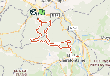
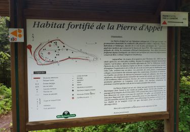
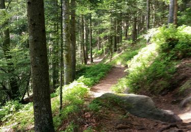
Randonnée Marche de 18,6 km à découvrir à Grand Est, Vosges, Raon-l'Étape. Cette randonnée est proposée par nfranche.
Très beau parcours essentiellement en forêt et sur des sentiers agréables. De nombreux point de vue et beaux rochers gréseux .


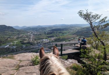
Randonnée équestre
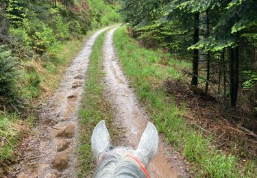
Randonnée équestre

V.T.T.
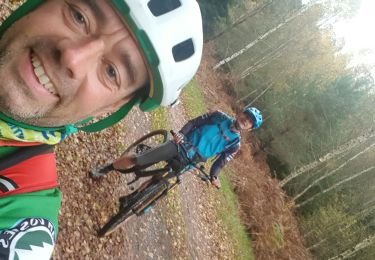
V.T.T.
V.T.T.
V.T.T.
V.T.T.
Vélo
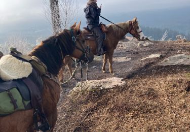
Randonnée équestre