


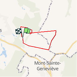

9,1 km | 10,4 km-effort


Utilisateur


Application GPS de randonnée GRATUITE
 SityTrail
IGN / Instituts géographiques
SityTrail World
Le monde est à vous
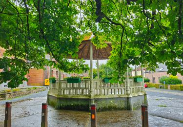
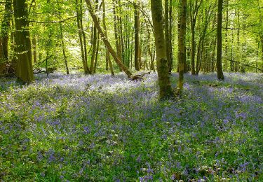
Randonnée Cheval de 4,4 km à découvrir à Wallonie, Hainaut, Binche. Cette randonnée est proposée par olegrand76.
Passage par l'arrière du château
A droite à petite chapelle
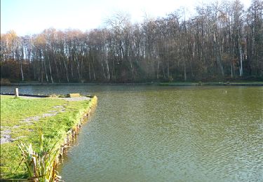
Entrée dans champ
Reprise petit chemin entre deux champs
Rattrape route entre champs
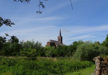
Entrée au château

Marche
Marche

Marche
Marche
Marche

Marche
Marche
Marche
Marche