


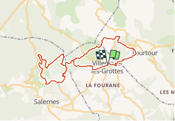

11,2 km | 16,6 km-effort

Utilisateur


Application GPS de randonnée GRATUITE
 SityTrail
IGN / Instituts géographiques
SityTrail World
Le monde est à vous
Randonnée Marche de 22 km à découvrir à Provence-Alpes-Côte d'Azur, Var, Villecroze. Cette randonnée est proposée par Christiancordin.
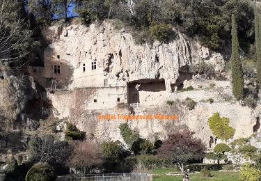
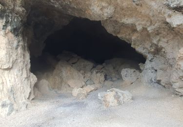
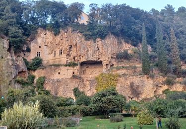
Villecroze-Cros du Paradis-les Défends-tombe mégalithique de la Lauve-chapelle St Barthélémy-vallon de la Brague-Chapelle St Victor.


Marche
Marche
Marche

Marche

Autre activité

V.T.T.
V.T.T.
Marche
Marche