


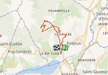

10,6 km | 21 km-effort

Utilisateur


Application GPS de randonnée GRATUITE
 SityTrail
IGN / Instituts géographiques
SityTrail World
Le monde est à vous
Randonnée Marche de 15,5 km à découvrir à Provence-Alpes-Côte d'Azur, Hautes-Alpes, Embrun. Cette randonnée est proposée par guariso.
départ Embrun mais il est possible de raccourcir en montant un peu en voiture car le bas de la descente est sur route.
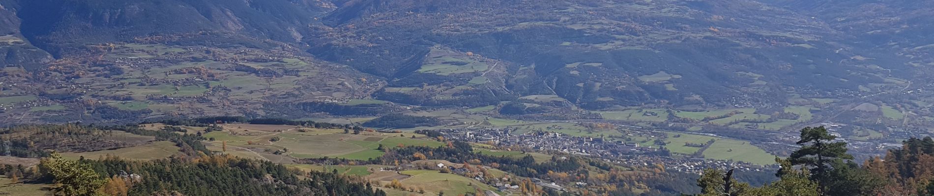
La montée initiale est un peu raide mais le suivi du torrent tout le long de la montée est très beau.


Marche

Marche

Marche

Marche

Marche

Marche

Marche

Marche

Marche