


 - Photo 21")
 - Photo 22")
 - Photo 23")
 - Photo 24")
 - Photo 25")
 - Photo 26")
 - Photo 27")
 - Photo 28")
 - Photo 29")
 - Photo 30")

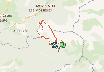
11,2 km | 22 km-effort


Utilisateur


Application GPS de randonnée GRATUITE
 SityTrail
IGN / Instituts géographiques
SityTrail World
Le monde est à vous
Randonnée Marche de 12 km à découvrir à Provence-Alpes-Côte d'Azur, Hautes-Alpes, Saint-Julien-en-Beauchêne. Cette randonnée est proposée par Philindy26.
Départ du parking des Chabottes (1330 m) à Lus-La-Croix-Haute...
Géolocalisation (Google Maps) : https://goo.gl/maps/ut89nePWDMqPtLkx7 à 05140 Saint-Julien-en-Beauchêne.
Prendre la direction du vallon de Garnesier et montée par la Grande Côte sur Chamousset (2089 m).
Continuer sur le Grand Chamousset (1930 m) et le Petit Chamousset.
Retour par le roc de Rimat (1573 m), le Serre Sambue (1626 m) et le col de Pré Pinel (1452 m).
 - Photo 1")
 - Photo 2")
 - Photo 3")
 - Photo 4")
 - Photo 5")
 - Photo 6")
 - Photo 7")
 - Photo 8")
 - Photo 9")
 - Photo 10")
 - Photo 11")
 - Photo 12")
 - Photo 13")
 - Photo 14")
 - Photo 15")
 - Photo 16")
 - Photo 17")
 - Photo 18")
 - Photo 19")
 - Photo 20")
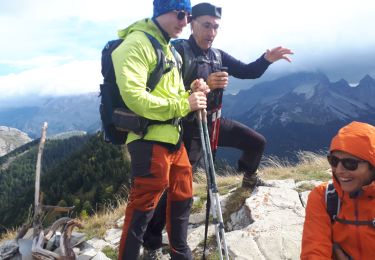
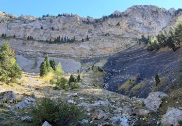
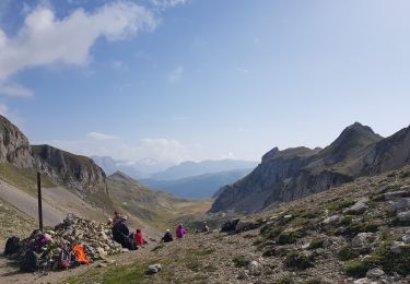
30 photos au total. Cliquez sur une photo pour les afficher toutes dans la galerie.

Marche

Marche
Marche
Marche
Marche
Marche
Marche

Marche
Marche