


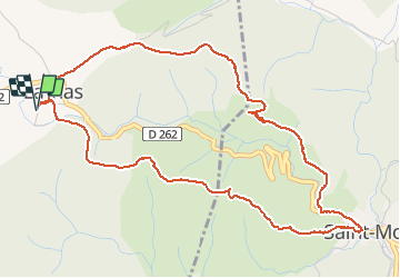

17,4 km | 25 km-effort

Utilisateur


Application GPS de randonnée GRATUITE
 SityTrail
IGN / Instituts géographiques
SityTrail World
Le monde est à vous
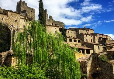
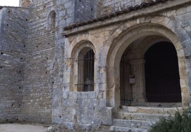
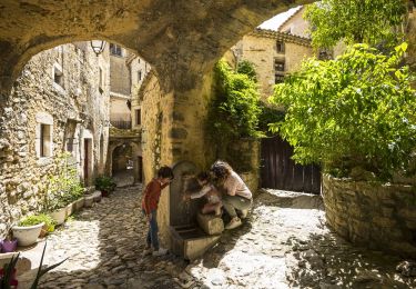
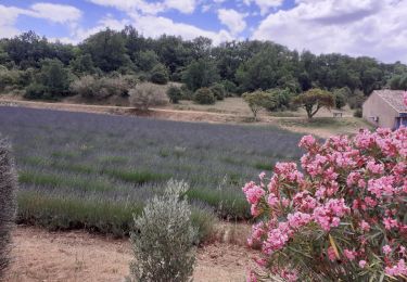
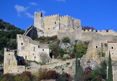
Randonnée Marche de 6,3 km à découvrir à Auvergne-Rhône-Alpes, Ardèche, Larnas. Cette randonnée est proposée par prv.
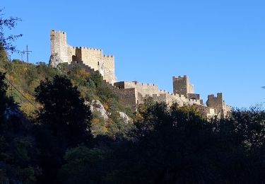
Commence par un bon déjeuner à Larnas, la cigale et la fourchette. ensuite 2h de balade dans les gorges de Sainte baume. Enjoy it !


Marche
Marche
Marche

V.T.T.
Marche
Marche
Marche
Marche
Marche