


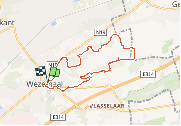

7,7 km | 8,8 km-effort


Utilisateur


Application GPS de randonnée GRATUITE
 SityTrail
IGN / Instituts géographiques
SityTrail World
Le monde est à vous
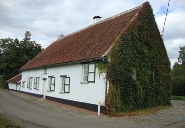
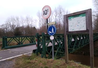
Randonnée Marche de 7,7 km à découvrir à Flandre, Brabant flamand, Rotselaer. Cette randonnée est proposée par pitteke1.
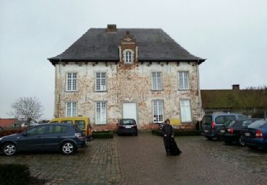
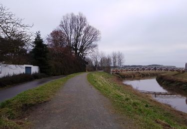
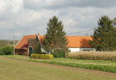
Très belle balade, très variée. Vignes, vergers, points de vue, différence marquée entre le flanc sud et le nord. Troupeau de moutons.
Excellent balisage (points noeuds).
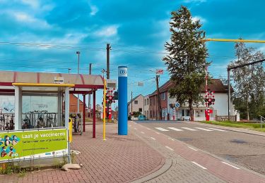
Seul inconvénient : le bruit généré par l'autoroute E314 ! À faire un dimanche ?
Marche
A pied
A pied
A pied
A pied
A pied
A pied
A pied
A pied