


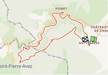


11 km | 17,2 km-effort

Utilisateur GUIDE


Application GPS de randonnée GRATUITE
 SityTrail
IGN / Instituts géographiques
SityTrail World
Le monde est à vous
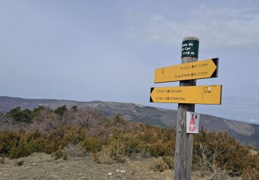
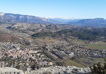
Randonnée Marche de 13,1 km à découvrir à Provence-Alpes-Côte d'Azur, Hautes-Alpes, Val-Buëch-Méouge. Cette randonnée est proposée par amiral13.
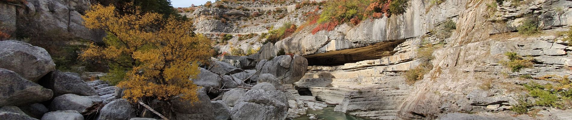
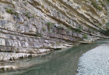
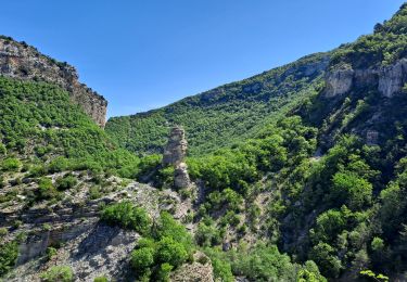
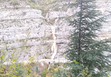
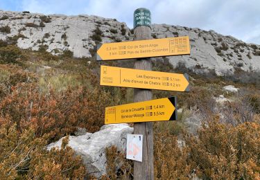
jolie randonnée dans les gorges de la Méouges au départ d'Antonaves réalisée le 19 octobre 2020.
Attention les gorges ne sont pas praticables en plein hiver à cause de cascades de glace qui traversent le sentier.


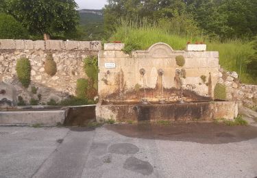
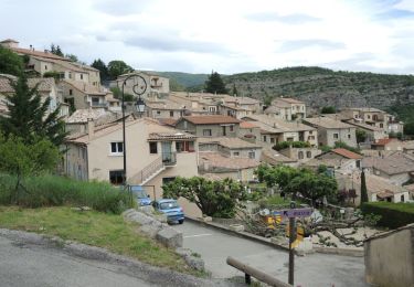
23 photos au total. Cliquez sur une photo pour les afficher toutes dans la galerie.
Marche
Marche
Marche
Marche
Marche

Marche
Marche
Marche
Marche