


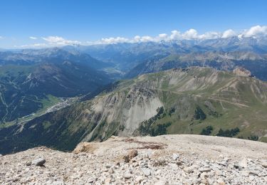
8,2 km | 10 km-effort


Utilisateur


Application GPS de randonnée GRATUITE
 SityTrail
IGN / Instituts géographiques
SityTrail World
Le monde est à vous
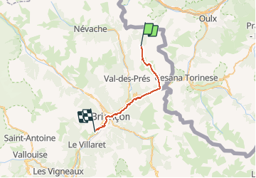
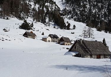
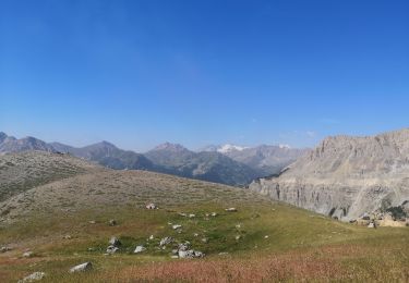
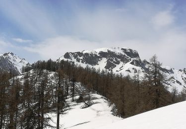
Randonnée A pied de 23 km à découvrir à Provence-Alpes-Côte d'Azur, Hautes-Alpes, Névache. Cette randonnée est proposée par MathieuBourgois.
Montgenève 10km et 360D
Envers du Fontenil 17km et 400D
Briançon, tous services
Camping des 5 vallées 23km et 520D

Marche

Marche
Marche

Marche
Marche
Raquettes à neige
Marche
A pied