


4,2 km | 5,9 km-effort


Utilisateur


Application GPS de randonnée GRATUITE
 SityTrail
IGN / Instituts géographiques
SityTrail World
Le monde est à vous
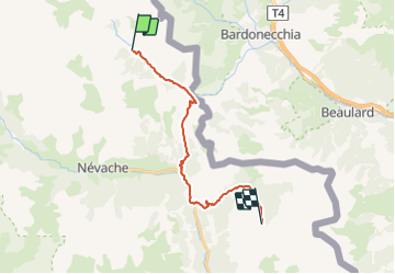
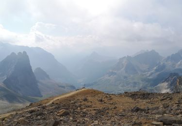
Randonnée A pied de 17,1 km à découvrir à Provence-Alpes-Côte d'Azur, Hautes-Alpes, Névache. Cette randonnée est proposée par MathieuBourgois.
Col des Thures 3.3km et 420D
Roubion 8.4km et 430D
Pamplinet 12km et 460D
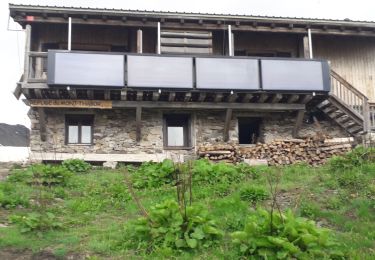
Chalet des Acles 16km et 880D
Lieux de Bivouac 18km et 1200D

Marche

Marche

V.T.T.

Marche
Marche

sport
Marche
Marche
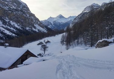
Ski de randonnée