


26 km | 35 km-effort


Utilisateur


Application GPS de randonnée GRATUITE
 SityTrail
IGN / Instituts géographiques
SityTrail World
Le monde est à vous
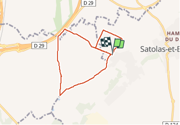
Randonnée Marche de 7,5 km à découvrir à Auvergne-Rhône-Alpes, Isère, Satolas-et-Bonce. Cette randonnée est proposée par jtraverse.
Fait le 14/10/2020
V.T.T.

V.T.T.
Marche
Marche
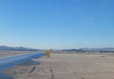
Avion

Marche
Marche
Marche
Marche