


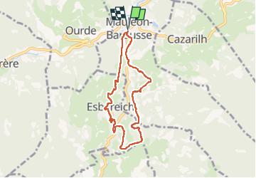

11,4 km | 20 km-effort


Utilisateur


Application GPS de randonnée GRATUITE
 SityTrail
IGN / Instituts géographiques
SityTrail World
Le monde est à vous
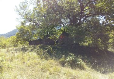
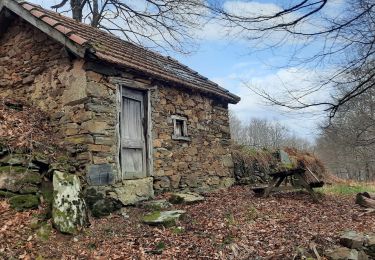
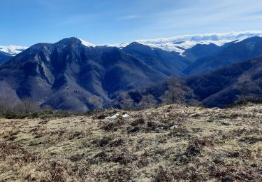
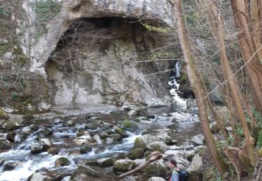
Randonnée Marche de 7,5 km à découvrir à Occitanie, Hautes-Pyrénées, Mauléon-Barousse. Cette randonnée est proposée par mitch1952.
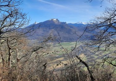
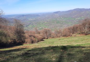
départ Ger 8h
départ rando parking hôtel restaurant des Pyrénées 9h30
retrouvailles avec le G3 a l'aire de PN pour partager ensemble un moment de convivialité aux environs de 12h30
Marche

Marche
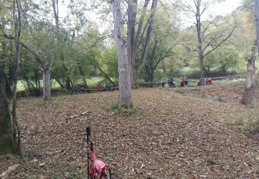
Marche
Marche
Marche
Marche
Marche
Marche

A pied