


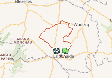

17,9 km | 22 km-effort

Utilisateur GUIDE


Application GPS de randonnée GRATUITE
 SityTrail
IGN / Instituts géographiques
SityTrail World
Le monde est à vous
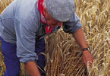
Randonnée Marche de 10,2 km à découvrir à Wallonie, Hainaut, Ellezelles. Cette randonnée est proposée par rvapeldo.
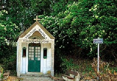
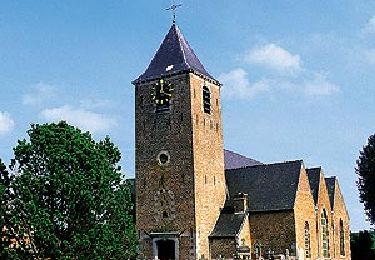
Boucle tranquille autour de La Hamaide, sur des routes calmes et des chemins agricoles. A faire à toutes les saisons. Le nombre de chapelles est assez surprenant. Il y a aussi quelques belles fermes.


Marche
Marche
Cheval

A pied
A pied
A pied
A pied

A pied

A pied