52 km | 61 km-effort
2020-10-10_LO Terrils 11 - 19
laventie.oxygene
Utilisateur
Longueur
8,1 km
Altitude max
160 m
Dénivelé positif
174 m
Km-Effort
10,4 km
Altitude min
65 m
Dénivelé négatif
174 m
Boucle
Oui
Date de création :
2020-10-10 05:58:58.025
Dernière modification :
2021-08-12 15:44:50.912
--
Difficulté : Moyen
Application GPS de randonnée GRATUITE
À propos
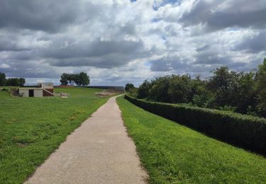
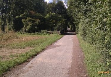
Randonnée A pied de 8,1 km à découvrir à Hauts-de-France, Pas-de-Calais, Loos-en-Gohelle. Cette randonnée est proposée par laventie.oxygene.
Localisation
Pays :
France
Région :
Hauts-de-France
Département/Province :
Pas-de-Calais
Commune :
Loos-en-Gohelle
Localité :
Unknown
Départ:(Dec)
Départ:(UTM)
484847 ; 5587839 (31U) N.
Commentaires
Randonnées à proximité
50 km Lievin en nocturne
Marche
Très difficile
(1)
Liévin,
Hauts-de-France,
Pas-de-Calais,
France
9h 0min
Oui
randonnée
Marche
Difficile
Lens,
Hauts-de-France,
Pas-de-Calais,
France
10,5 km | 13,4 km-effort
3h 41min
Oui
randonnée pinchonvalles
Marche
Très difficile
Angres,
Hauts-de-France,
Pas-de-Calais,
France
27 km | 0 m-effort
3h 24min
Non
boucle Liévin
Autre activité
Très facile
Liévin,
Hauts-de-France,
Pas-de-Calais,
France
11 km | 12,3 km-effort
2h 2min
Oui
boucle Liévin
Autre activité
Très facile
Liévin,
Hauts-de-France,
Pas-de-Calais,
France
11 km | 12,3 km-effort
2h 2min
Oui
lorette août 23
Marche
Difficile
Ablain-Saint-Nazaire,
Hauts-de-France,
Pas-de-Calais,
France
11,8 km | 15,6 km-effort
2h 29min
Non
La randonnée VTT du Père Noël - Angres
V.T.T.
Difficile
(1)
Angres,
Hauts-de-France,
Pas-de-Calais,
France
35 km | 42 km-effort
3h 0min
Oui
Randonnée autour d' Aix Noulette
Marche
Moyen
Aix-Noulette,
Hauts-de-France,
Pas-de-Calais,
France
8,1 km | 10,1 km-effort
1h 40min
Oui
13 kms Liévin Pinchonvalles Givenchy
Marche
Difficile
(1)
Liévin,
Hauts-de-France,
Pas-de-Calais,
France
13,1 km | 16 km-effort
3h 38min
Oui