


11 km | 12,8 km-effort


Utilisateur


Application GPS de randonnée GRATUITE
 SityTrail
IGN / Instituts géographiques
SityTrail World
Le monde est à vous
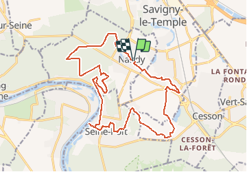
Randonnée Marche de 20 km à découvrir à Île-de-France, Seine-et-Marne, Nandy. Cette randonnée est proposée par GTarenne.
Départ de Nandy, parking de la police municipale.
Randonnée inversée, départ par la forêt de Rougeau, pavillon Royal, côte pavée, Seine-Port.
Retour par Cesson, l'Ecomusée, la route de Savigny et le chemin du lavoir.

Marche
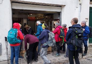
Marche

Marche
Marche

Course à pied

Marche

A pied

Marche
Marche