


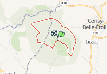

8,7 km | 11,6 km-effort


ensemble sur les chemins


Application GPS de randonnée GRATUITE
 SityTrail
IGN / Instituts géographiques
SityTrail World
Le monde est à vous
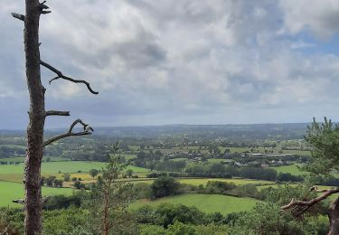
Randonnée A pied de 3,2 km à découvrir à Normandie, Orne, Cerisy-Belle-Étoile. Cette randonnée est proposée par AACLARANDO.
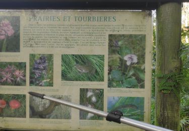
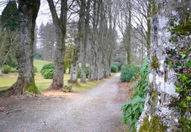
randonnée dans foret, petits sentiers et très peu de routes
Marche
V.T.T.
Marche

Marche

A pied
Autre activité

V.T.T.
Marche