


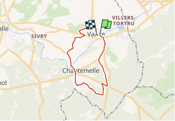

22 km | 27 km-effort


Utilisateur


Application GPS de randonnée GRATUITE
 SityTrail
IGN / Instituts géographiques
SityTrail World
Le monde est à vous
Randonnée Marche de 11 km à découvrir à Wallonie, Luxembourg, Étalle. Cette randonnée est proposée par fra_depoorter.
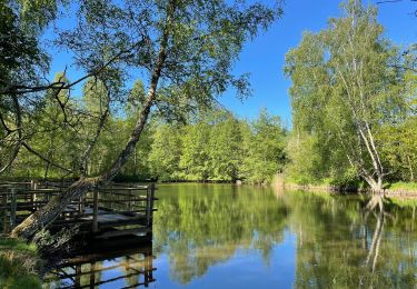
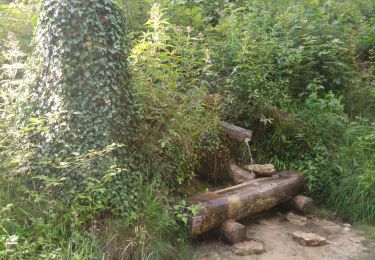
Merveilleuse randonnée, essentiellement sous bois sans difficulté. Un peu de tarmac au départ et en fin de parcours; court passage boueux, débardage récent.
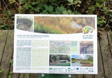
Traversée de Chantemelle très plaisante. A ne pas manquer. Merci aux organisateurs dévoués.

V.T.T.
A pied

Marche
Marche

Marche

A pied
V.T.T.
Marche
Marche