


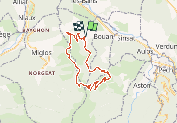

9,4 km | 19,2 km-effort

Utilisateur


Application GPS de randonnée GRATUITE
 SityTrail
IGN / Instituts géographiques
SityTrail World
Le monde est à vous
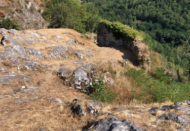
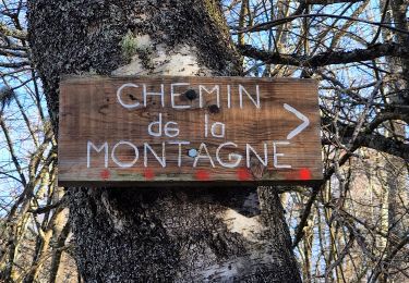
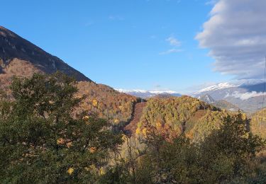
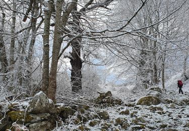
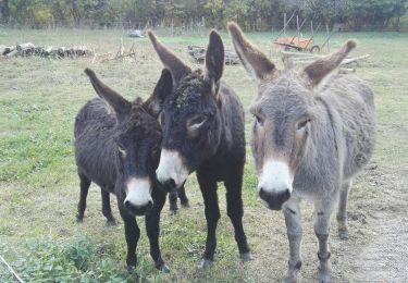
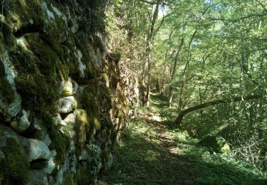
Randonnée Marche de 15,5 km à découvrir à Occitanie, Ariège, Larnat. Cette randonnée est proposée par c.chehere.
Superbe rando en crète avec vues splendides sur la vallée de l'Ariège et le Vicdessos. Les chutes de neige du WE dernier rajoutent une touche "montagne"


Marche
Vélo électrique
Marche
Marche
Marche
Marche

Marche