


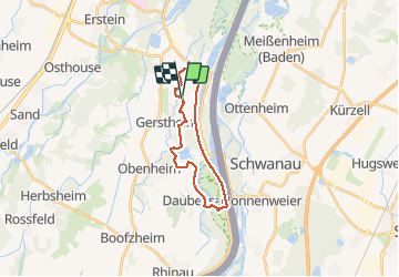

35 km | 38 km-effort


Utilisateur


Application GPS de randonnée GRATUITE
 SityTrail
IGN / Instituts géographiques
SityTrail World
Le monde est à vous
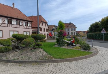
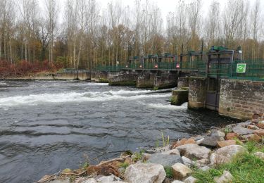
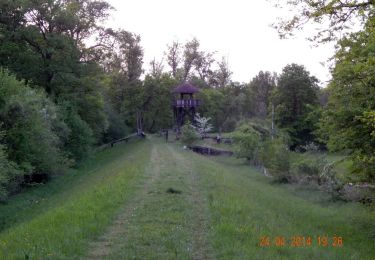
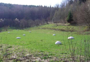
Randonnée Randonnée équestre de 19 km à découvrir à Grand Est, Bas-Rhin, Gerstheim. Cette randonnée est proposée par Jesira.
V.T.T.
Marche
Marche
Vélo électrique
Marche
A pied
V.T.T.

Autre activité

Randonnée équestre