


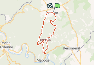

23 km | 34 km-effort

Utilisateur


Application GPS de randonnée GRATUITE
 SityTrail
IGN / Instituts géographiques
SityTrail World
Le monde est à vous
Randonnée Marche de 12,4 km à découvrir à Wallonie, Luxembourg, La Roche-en-Ardenne. Cette randonnée est proposée par negi.
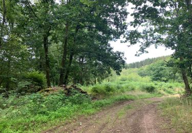
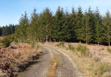
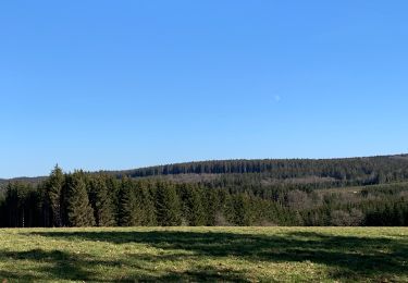
Promenade en forêt, le long de ruisseaux, près de barrages de castors, passage par le hameau de Borzee et remonter sur Samrée.


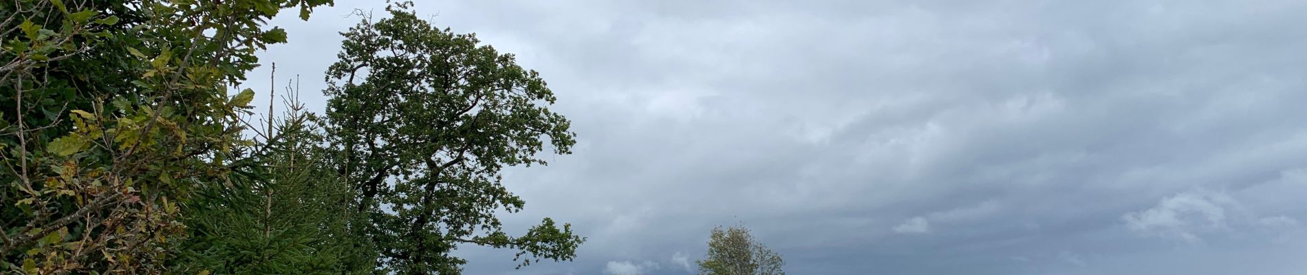
Marche
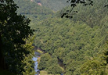
Marche
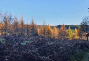
Marche
Marche
Marche

Marche
Marche
Marche

Marche