


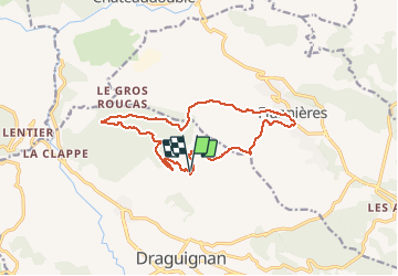

10 km | 14,7 km-effort


Utilisateur


Application GPS de randonnée GRATUITE
 SityTrail
IGN / Instituts géographiques
SityTrail World
Le monde est à vous
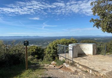
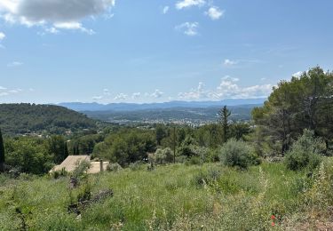
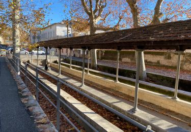
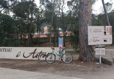
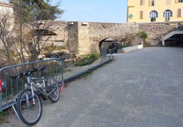
Randonnée Marche de 14,6 km à découvrir à Provence-Alpes-Côte d'Azur, Var, Draguignan. Cette randonnée est proposée par Sugg.
rando RF prévue pour le 23-09-2020.
Départ P du Malmont, boucle à l'Ouest, Vallon de la Cassade, Figanières et retour S/SO
Marche
Marche

Marche
Marche
Marche

Marche
Marche
V.T.T.
V.T.T.