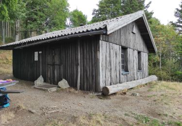
7,4 km | 9,6 km-effort
steinmatt glashutte
lasteinmatt
Utilisateur
Longueur
23 km
Boucle
Oui
Date de création :
2020-09-20 07:58:04.449
Dernière modification :
2020-09-20 15:38:03.516
4h47
Difficulté : Très facile
Application GPS de randonnée GRATUITE
À propos
Randonnée Randonnée équestre de 23 km à découvrir à Grand Est, Haut-Rhin, Geishouse. Cette randonnée est proposée par lasteinmatt.
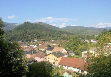
Localisation
Pays :
France
Région :
Grand Est
Département/Province :
Haut-Rhin
Commune :
Geishouse
Localité :
Unknown
Départ:(Dec)
Départ:(UTM)
355301 ; 5304582 (32T) N.
Commentaires
Randonnées à proximité
Firstacker - Willer sur Thur
A pied
Facile
Goldbach-Altenbach,
Grand Est,
Haut-Rhin,
France
2h 11min
Non
Mon tour des Vosges (4 jours)
Marche
Très difficile
Soultz-Haut-Rhin,
Grand Est,
Haut-Rhin,
France
71 km | 113 km-effort
25h 38min
Oui
Rando des Marcheurs 20/07/2023
Marche
Très difficile
Ranspach,
Grand Est,
Haut-Rhin,
France
23 km | 38 km-effort
5h 31min
Oui
dimanche
Marche
Très difficile
(1)
Saint-Amarin,
Grand Est,
Haut-Rhin,
France
19,4 km | 35 km-effort
7h 51min
Oui
Moosch Haag
Marche
Difficile
(1)
Moosch,
Grand Est,
Haut-Rhin,
France
21 km | 0 m-effort
5h 27min
Oui
Raquettes au Molkenrain
Raquettes à neige
Moyen
Soultz-Haut-Rhin,
Grand Est,
Haut-Rhin,
France
7,1 km | 12,1 km-effort
2h 28min
Oui
Lac de Kurt et jardin des merveilles
V.T.C.
Facile
Moosch,
Grand Est,
Haut-Rhin,
France
38 km | 45 km-effort
2h 24min
Oui
Moos abri Faucon Crécerelle
Marche
Très difficile
Moosch,
Grand Est,
Haut-Rhin,
France
14,4 km | 24 km-effort
6h 32min
Oui
rdpr G3 240521 Gustiberg matin 2
Marche
Moyen
Lautenbachzell,
Grand Est,
Haut-Rhin,
France
5,5 km | 7,7 km-effort
2h 12min
Non