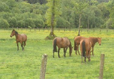
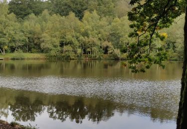
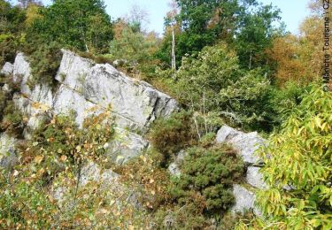
11,2 km | 14,6 km-effort
le sentier 2
Huangdi
Utilisateur
Longueur
31 km
Altitude max
320 m
Dénivelé positif
643 m
Km-Effort
40 km
Altitude min
141 m
Dénivelé négatif
554 m
Boucle
Non
Date de création :
2020-09-19 06:17:33.429
Dernière modification :
2020-09-20 07:12:31.327
7h39
Difficulté : Très facile
Application GPS de randonnée GRATUITE
À propos
Randonnée Marche de 31 km à découvrir à Normandie, Orne, Lonlay-l'Abbaye. Cette randonnée est proposée par Huangdi.
Localisation
Pays :
France
Région :
Normandie
Département/Province :
Orne
Commune :
Lonlay-l'Abbaye
Localité :
Unknown
Départ:(Dec)
Départ:(UTM)
668638 ; 5390577 (30U) N.
Commentaires
Randonnées à proximité
Chemin de l'Egrenne (n° 9) - Beauchêne
Marche
Moyen
(1)
Tinchebray-Bocage,
Normandie,
Orne,
France
2h 49min
Oui
la Fosse Arthour
V.T.T.
Difficile
Saint-Georges-de-Rouelley,
Normandie,
Manche,
France
27 km | 33 km-effort
2h 41min
Oui
La fosse Arthour
Marche
Facile
Saint-Georges-de-Rouelley,
Normandie,
Manche,
France
8,7 km | 10,9 km-effort
2h 5min
Oui
Le Moulin Foulon - Saint Georges de Rouelley
Marche
Moyen
Saint-Georges-de-Rouelley,
Normandie,
Manche,
France
7,9 km | 10,2 km-effort
2h 0min
Oui
Chemin de l'Egrenne
A pied
Facile
Tinchebray-Bocage,
Normandie,
Orne,
France
10,6 km | 14 km-effort
3h 10min
Oui
Sentier Fosse Arthour
Marche
Moyen
Saint-Georges-de-Rouelley,
Normandie,
Manche,
France
6,2 km | 7,7 km-effort
1h 45min
Oui
autour de la fosse Arthour
Marche
Facile
Saint-Georges-de-Rouelley,
Normandie,
Manche,
France
11,3 km | 14 km-effort
2h 13min
Oui
randonnée la Fosse Arthour / Mortain par le GR 22
Marche
Moyen
Saint-Georges-de-Rouelley,
Normandie,
Manche,
France
24 km | 31 km-effort
5h 23min
Non
9058741-Fosse Arthour -Grille souris
Marche
Moyen
Saint-Georges-de-Rouelley,
Normandie,
Manche,
France
10,8 km | 13,4 km-effort
2h 46min
Oui