Randonnée A pied La Villeneuve-au-Châtelot - La Villeneuve au Châtelot, Courtavant - Photo

La Villeneuve au Châtelot, Courtavant

 Alain Picard
Alain Picard

Utilisateur

© OpenStreetMap contributors
Longueur
Longueur
7,4 km
Altitude max
Altitude max
95 m
Dénivelé positif
Dénivelé positif
53 m
Km-Effort
Km-Effort  
8,1 km
Altitude min
Altitude min
61 m
Dénivelé négatif
Dénivelé négatif
53 m
Boucle
Boucle
Oui
Date de création :
2020-09-19 20:17:16.662
Dernière modification :
2020-09-19 20:23:08.618

(0 Avis)

A pied
A pied
2h10
Difficulté : Facile

Scannez ce code QR pour ouvrir la randonnée dans l'application SityTrail

Application GPS de randonnée GRATUITE

Logo SityTrail SityTrail

IGN / Instituts géographiques

Télécharger SityTrail sur l'App Store Télécharger SityTrail sur Google Play

Logo SityTrail SityTrail World

Le monde est à vous

Télécharger SityTrail sur l'App Store Télécharger SityTrail sur Google Play Télécharger SityTrail sur Huawei AppGallery

À propos

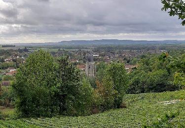
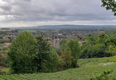
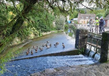
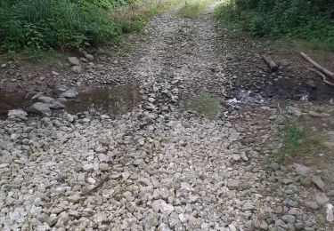
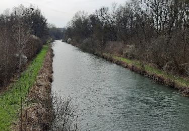
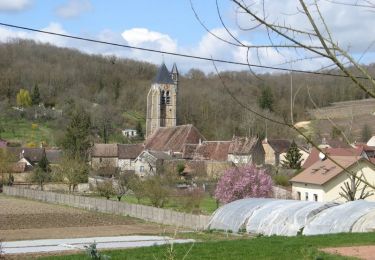
Randonnée A pied de 7,4 km à découvrir à Grand Est, Aube, La Villeneuve-au-Châtelot. Cette randonnée est proposée par Alain Picard.

Description

Rando Douce , 7.4 km

Profil altimétrique

Localisation

Pays :
France
Région :
Grand Est
Département/Province :
Aube
Commune :
La Villeneuve-au-Châtelot
Localité :
Unknown
Départ:(UTM)
545137 ; 5377609 (31U) N.

Randonnées à proximité

Randonnée Marche Villenauxe-la-Grande - VILLENAUXE LA GRANDE, village et Val de Noxe - Photo
Marche
jeannine grandjean

Marche

Moyen
Villenauxe-la-Grande, Grand Est, Aube, France
8,6 km | 10,6 km-effort
2h 24min
Oui
Randonnée Marche Villenauxe-la-Grande - Villenauxe 3 - Photo
Marche
jeannine grandjean

Marche

Facile
Villenauxe-la-Grande, Grand Est, Aube, France
4 km | 5 km-effort
1h 8min
Oui
Randonnée Marche Villenauxe-la-Grande - VILLENAUXE LA GRANDE 1 - Photo
Marche
jeannine grandjean

Marche

Difficile
Villenauxe-la-Grande, Grand Est, Aube, France
11,3 km | 14,4 km-effort
3h 10min
Oui
Randonnée V.T.C. Marnay-sur-Seine - Marnay bis - Photo
V.T.C.
Olivier F.

V.T.C.

Moyen
Marnay-sur-Seine, Grand Est, Aube, France
20 km | 22 km-effort
73h 2min
Non
Randonnée Marche Crancey - Entre CRANCEY et PONT SUR SEINE - Photo
Marche
jeannine grandjean

Marche

Moyen
Crancey, Grand Est, Aube, France
10,2 km | 11,5 km-effort
2h 25min
Oui
Randonnée Marche Pont-sur-Seine - entre Pont sur SEINE et MARNAY - Photo
Marche
jeannine grandjean

Marche

Difficile
(1)
Pont-sur-Seine, Grand Est, Aube, France
13,1 km | 13,8 km-effort
2h 43min
Oui
Randonnée Marche Potangis - Boucle Potangis Le Perre Chantemerle Bethon - Photo
Marche
NANE51

Marche

Facile
Potangis, Grand Est, Marne, France
16,4 km | 19,6 km-effort
3h 33min
Oui
Randonnée Marche Villenauxe-la-Grande - Terroirs et vignes en Val de Noxe - Photo
Marche
Tournan

Marche

Moyen
(1)
Villenauxe-la-Grande, Grand Est, Aube, France
18,4 km | 24 km-effort
5h 6min
Oui
Randonnée Marche Villenauxe-la-Grande - Val de Noxe - Villenauxe la Grande - Photo
Marche
tracegps

Marche

Moyen
Villenauxe-la-Grande, Grand Est, Aube, France
33 km | 39 km-effort
6h 30min
Oui


Fermer
Mes abonnements