


9,4 km | 18,4 km-effort

Utilisateur


Application GPS de randonnée GRATUITE
 SityTrail
IGN / Instituts géographiques
SityTrail World
Le monde est à vous
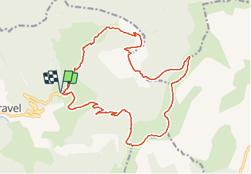
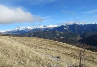
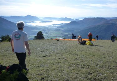
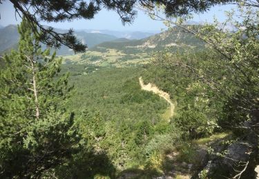
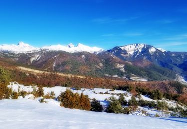
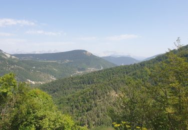
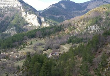
Randonnée Marche de 11,4 km à découvrir à Auvergne-Rhône-Alpes, Drôme, Val-Maravel. Cette randonnée est proposée par Philindy26.
Départ de Val-Maravel au lieu-dit le Pilhon (1090 m)...
Géolocalisation du départ (Google Maps) : https://goo.gl/maps/q9sh1ojABsnDbkXY6 (
44°35'35.9"N / 5°36'03.1"E ou 44.593303, 5.600847).
Prendre la direction du Luzet (1692 m) et le col des Imbards (1631 m).
Puis direction Reffudent (1662 m), le col de la Mourière (1514 m) et la Montagne Chauvet (1617 m).
Retour par le Clos la Grand (1188 m).
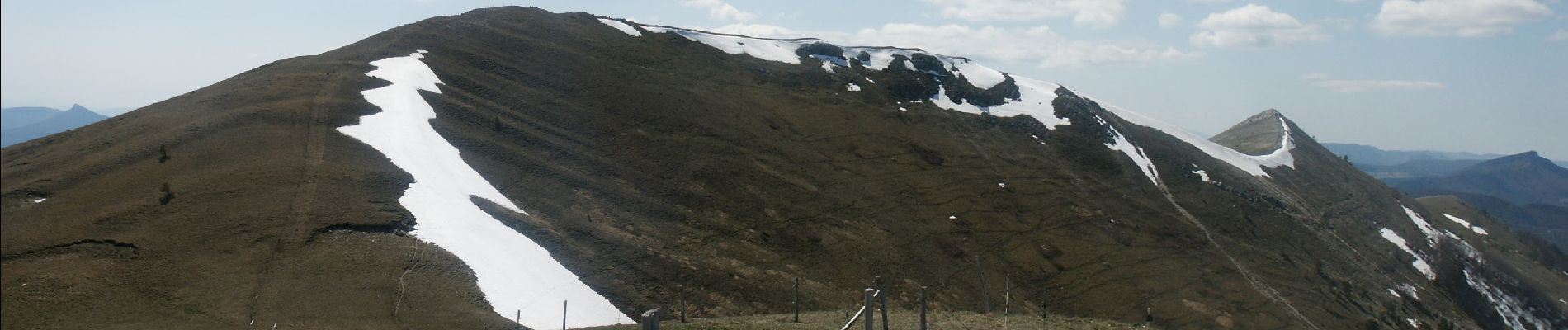
... - Photo 1")
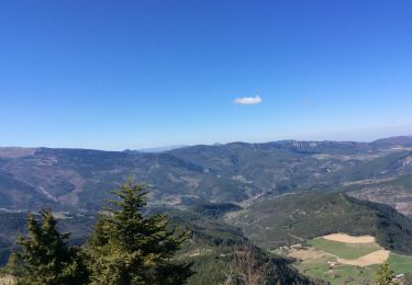
... - Photo 2")
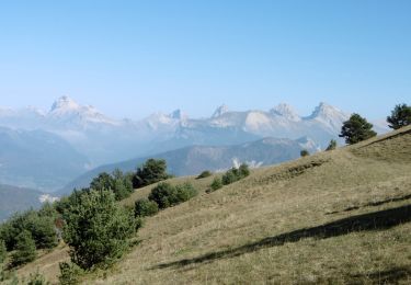
... - Photo 3")
... - Photo 4")
... - Photo 5")
... - Photo 6")
... - Photo 7")
... - Photo 8")
... - Photo 9")
... - Photo 10")
... - Photo 11")
... - Photo 12")
... - Photo 13")
... - Photo 14")

Marche
Marche
Marche
Marche
Marche
Marche
Marche
Marche
Marche