


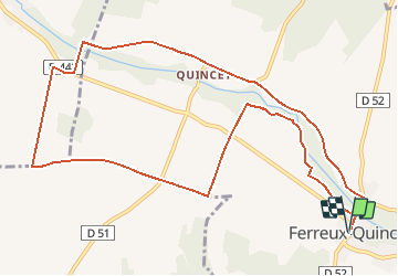

12,5 km | 13,9 km-effort


Utilisateur


Application GPS de randonnée GRATUITE
 SityTrail
IGN / Instituts géographiques
SityTrail World
Le monde est à vous
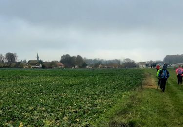
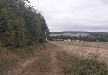
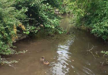
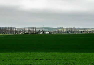
Randonnée A pied de 11,8 km à découvrir à Grand Est, Aube, Ferreux-Quincey. Cette randonnée est proposée par Alain Picard.
A pied
Marche
Marche
Marche
Marche

A pied
A pied
A pied


sport
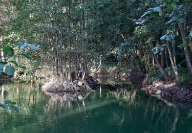
agréable randonnée, particulièrement dans la première partie, ne pas manquer l'abbaye du Paraclet