


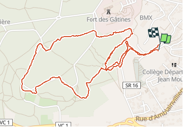

11,9 km | 14 km-effort

Utilisateur


Application GPS de randonnée GRATUITE
 SityTrail
IGN / Instituts géographiques
SityTrail World
Le monde est à vous
Randonnée Marche nordique de 3,3 km à découvrir à Île-de-France, Essonne, Verrières-le-Buisson. Cette randonnée est proposée par patjobou.
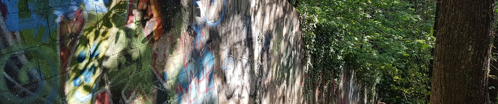
Exploration. Tout les chemins existent, il n'y a pas vraiment de point de vue. Le passage au sud du terrain militaire, le long d'un mur (photo), n'est pas top, en particulier avec des enfants.


Marche

Marche

Marche

Marche

Marche

Marche
Marche

Marche

Marche