


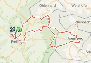

12,2 km | 15,6 km-effort


Utilisateur


Application GPS de randonnée GRATUITE
 SityTrail
IGN / Instituts géographiques
SityTrail World
Le monde est à vous
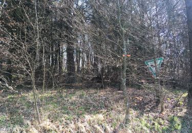
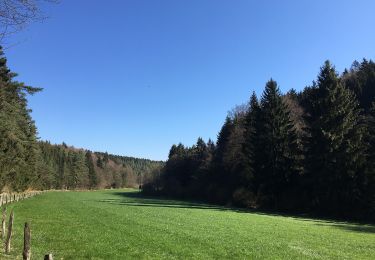
Randonnée Marche de 23 km à découvrir à Rhénanie-du-Nord-Westphalie, Euskirchen, Blankenheim. Cette randonnée est proposée par flip96.
Ahrsteig etappe 2 uitgebried tot rondwandeling 25km.
Ahrsteig zelf is een beetje tegenvallend. Door het toevoegen van enkele uitdagende paden is de complete rondwandeling wel geslaagd!
Totaal gezien weer een prachtige etappe!
Opmerkingen? flip96@home.nl
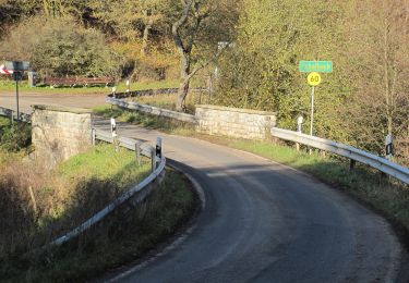
A pied
A pied
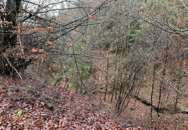
A pied
A pied
A pied

A pied
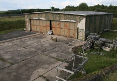
Autre activité