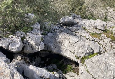
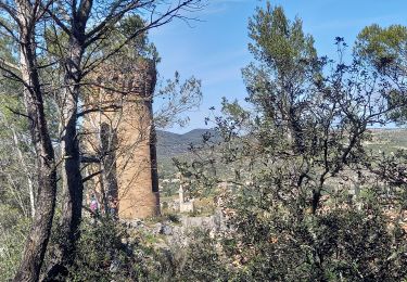
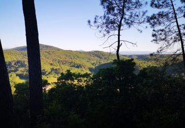
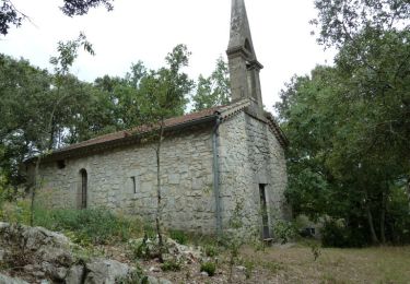
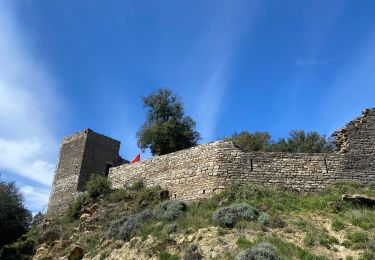
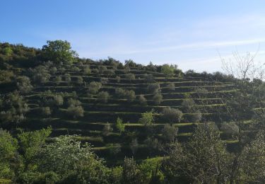
17,8 km | 24 km-effort
Saint sauveur de Cruzières
poisson1103
Utilisateur
Longueur
13,2 km
Altitude max
379 m
Dénivelé positif
420 m
Km-Effort
18,8 km
Altitude min
139 m
Dénivelé négatif
414 m
Boucle
Non
Date de création :
2020-09-10 07:38:27.29
Dernière modification :
2020-09-10 15:30:31.912
2h21
Difficulté : Moyen
Application GPS de randonnée GRATUITE
À propos
Randonnée Marche de 13,2 km à découvrir à Auvergne-Rhône-Alpes, Ardèche, Saint-Sauveur-de-Cruzières. Cette randonnée est proposée par poisson1103.
Localisation
Pays :
France
Région :
Auvergne-Rhône-Alpes
Département/Province :
Ardèche
Commune :
Saint-Sauveur-de-Cruzières
Localité :
Unknown
Départ:(Dec)
Départ:(UTM)
599796 ; 4905761 (31T) N.
Commentaires
Randonnées à proximité
07 chandouillet grotte cotepatiere sauvas peyrejol
Marche
Moyen
Saint-André-de-Cruzières,
Auvergne-Rhône-Alpes,
Ardèche,
France
7h 47min
Oui
CHADOUILLET
Marche
Moyen
Saint-André-de-Cruzières,
Auvergne-Rhône-Alpes,
Ardèche,
France
7,8 km | 9,4 km-effort
2h 8min
Oui
Autour de St Ambroix
Marche
Moyen
Saint-Ambroix,
Occitanie,
Gard,
France
18,6 km | 27 km-effort
5h 39min
Oui
24.05.20 montèze
Marche nordique
Très facile
Saint-Ambroix,
Occitanie,
Gard,
France
7,4 km | 11,3 km-effort
2h 9min
Non
Montagne de la Serre - Saint André de Cruzières
Marche
Difficile
Saint-André-de-Cruzières,
Auvergne-Rhône-Alpes,
Ardèche,
France
17,9 km | 25 km-effort
5h 0min
Oui
Saint Ambroix
Marche
Très difficile
Saint-Ambroix,
Occitanie,
Gard,
France
16,7 km | 24 km-effort
6h 26min
Non
montalet
Marche nordique
Très facile
Saint-Ambroix,
Occitanie,
Gard,
France
6,8 km | 10,6 km-effort
2h 31min
Non
monta let
Marche nordique
Très facile
Saint-Ambroix,
Occitanie,
Gard,
France
4,8 km | 7,3 km-effort
1h 24min
Oui
StAndre_ResurgencesClaysse
Marche
Moyen
Saint-André-de-Cruzières,
Auvergne-Rhône-Alpes,
Ardèche,
France
6,5 km | 7,5 km-effort
1h 42min
Oui