


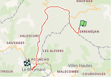

22 km | 32 km-effort


Utilisateur


Application GPS de randonnée GRATUITE
 SityTrail
IGN / Instituts géographiques
SityTrail World
Le monde est à vous
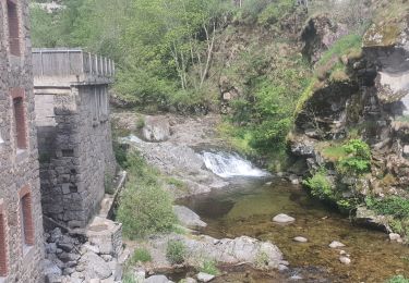
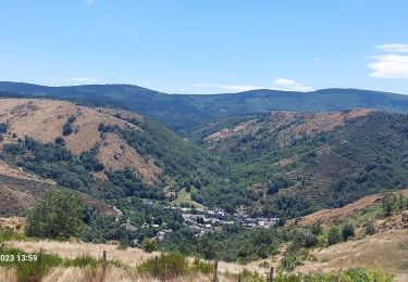
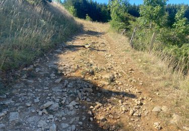
Randonnée Marche de 12,6 km à découvrir à Occitanie, Lozère, Mont Lozère et Goulet. Cette randonnée est proposée par yves3047.

Marche

Marche
Marche

Marche

Marche

Marche

Marche
Marche
V.T.T.