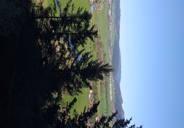
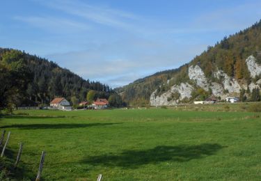
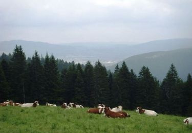
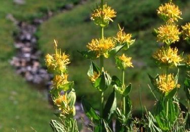
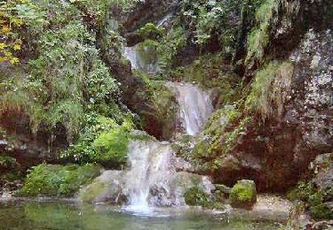
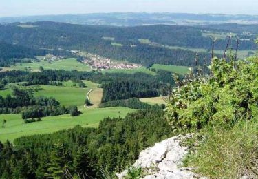
13,3 km | 19 km-effort
jours 2 Jura
ezola
Utilisateur
Longueur
13,4 km
Altitude max
1202 m
Dénivelé positif
435 m
Km-Effort
19,2 km
Altitude min
846 m
Dénivelé négatif
438 m
Boucle
Oui
Date de création :
2020-09-07 07:42:56.0
Dernière modification :
2020-09-07 13:14:44.616
5h11
Difficulté : Facile
Application GPS de randonnée GRATUITE
À propos
Randonnée Marche de 13,4 km à découvrir à Bourgogne-Franche-Comté, Doubs, Les Gras. Cette randonnée est proposée par ezola.
Localisation
Pays :
France
Région :
Bourgogne-Franche-Comté
Département/Province :
Doubs
Commune :
Les Gras
Localité :
Unknown
Départ:(Dec)
Départ:(UTM)
313280 ; 5207569 (32T) N.
Commentaires
Randonnées à proximité
Grand Combe Chateleu
Marche
Très difficile
Grand'Combe-Châteleu,
Bourgogne-Franche-Comté,
Doubs,
France
17,2 km | 27 km-effort
6h 5min
Oui
les gras
Marche
Moyen
Les Gras,
Bourgogne-Franche-Comté,
Doubs,
France
14 km | 21 km-effort
5h 3min
Oui
Remonot 8 octobre 2020 CAF
Marche
Difficile
Les Combes,
Bourgogne-Franche-Comté,
Doubs,
France
21 km | 32 km-effort
6h 44min
Oui
Le mont Châteleu
Marche
Moyen
Les Gras,
Bourgogne-Franche-Comté,
Doubs,
France
18,5 km | 29 km-effort
5h 30min
Oui
Le Mont Châteleu - Doubs
Marche
Difficile
(1)
Les Gras,
Bourgogne-Franche-Comté,
Doubs,
France
12,8 km | 20 km-effort
4h 0min
Oui
Le Mont Chateleu
Marche
Difficile
(1)
Les Gras,
Bourgogne-Franche-Comté,
Doubs,
France
14,4 km | 22 km-effort
4h 30min
Oui
Espace VTT FFC Val de Morteau - Circuit n° 13 - Les Gras
V.T.T.
Difficile
Les Gras,
Bourgogne-Franche-Comté,
Doubs,
France
16,2 km | 24 km-effort
2h 30min
Oui
y10_lac_tailleres
Autre activité
Très facile
La Brévine,
Neuchâtel,
Inconnu,
Suisse
5,1 km | 6,2 km-effort
1h 24min
Oui